
Clovis ZIP Code Directory: Confirmed Postal Coverage
Only a narrow set of local ZIP evidence is confirmed. Census material places the 88101 ZCTA in a Clovis context, while USPS identifies the Clovis Post Office and Northwest Station with 88101 formats. City and County materials use 88102 for P.O. Box mailing addresses, including the Clovis Municipal Court. A ZCTA is a Census tabulation area, not a legal boundary or a live postal map. The available evidence does not support a broad neighborhood-by-neighborhood coverage claim.
| ZIP | Areas covered | Post office | Notes |
|---|---|---|---|
| 88101 | Confirmed Clovis delivery-area and ZCTA reference | Clovis Post Office, 417 Gidding St.; Northwest Station, 1224 W. 21st | ZCTA boundaries are approximate Census areas, not postal or City-limit lines. |
| 88102 | Clovis P.O. Box mailing format documented in City and County material | Older USPS routing material places it through the Clovis postal facility | Current USPS type, area, and boundary were not verified in the research. |
The Census Clovis profile and the USPS listings for the Clovis Post Office and Northwest Station support those limited references. They do not establish a roster for a ZIP or a municipal jurisdiction.
Clovis ZIP Evidence for 88101
88101 is the primary confirmed Clovis delivery-area and Census reference in the research. The Clovis Post Office uses 417 Gidding Street, Suite 100, with an 88101-9998 format. Northwest Station is at 1224 W. 21st with an 88101-4199 format. Facility addresses are useful local service points, but they do not describe where every carrier route begins or ends.
Use the current USPS address and ZIP lookup for a complete street address. The result can verify the delivery ZIP and its extended form for that address. It should not be replaced with a Census ZCTA or a familiar neighborhood label. A search for a Clovis ZIP code is strongest when it starts with the exact address rather than the city name alone.
Older destination-ZIP material supports that both documented formats route through the Clovis postal facility, but it is not current boundary evidence. Note: postal facility addresses confirm service locations, not the City-limit status of every address using the same ZIP.
Clovis ZIP Caution for 88102 and 88103
88102 appears in City and County mailing use, including Municipal Court P.O. Box material. The research did not retrieve a USPS source that proves its exact present type, area, or boundary. It is therefore accurate to call it a documented Clovis mailing format, but not accurate to label it a complete Clovis delivery area or a P.O. Box-only ZIP without a current postal source.
Do not add 88103 to a Clovis ZIP code directory based on an adjacent-area association. Present City of Clovis coverage was not confirmed for 88103 by current USPS or Census evidence. No official source found a ZIP-level population total, voter-registration count, boundary realignment, or full neighborhood narrative for 88102 or 88103. The gap is useful information: verify the exact address instead of filling it with an assumed map.
Check a Clovis ZIP Before Searching
A ZIP narrows postal geography, but it does not search the Curry parcel system by ZIP. The Curry Parcel Layer did not expose a confirmed ZIP field, so it should not be described as a ZIP-wide property search. The safe sequence is to validate the full address with USPS, locate the same property in the County map, and then use the map’s property and legal-description fields for the appropriate record request.
- Enter the complete street address in the live USPS lookup and record the returned ZIP format and delivery response.
- Locate the street and parcel in the Curry County Map Viewer, saving the property address, parcel code, legal description, and municipal-limit context.
- Use NMVote’s street-number-and-ZIP function only for polling-place geography, not for resident, owner, or voter results across that ZIP.
- When City service jurisdiction matters, compare the City-limit layer with Building Safety’s City-plus-five-mile-ETJ rule and contact the department if the sources conflict.
- Carry the legal description and old street form for historical work rather than applying a current ZIP to an earlier address.
Once a ZIP has narrowed the postal question, a full address can move into the Clovis street directory workflow for parcel, deed, permit, and map research. That next step is address-based, not ZIP-based.
Note: preserve the returned postal format with the parcel’s legal description, because the two values serve different local record systems.
Clovis ZIP Tools and Voting Geography
NMVote offers a Search Voting Location Data function that uses a street number and ZIP code to find the voting location nearest an address. It is a useful official geography check after postal validation. It does not return people connected to a ZIP, parcel ownership, or a ZIP-wide voter list. The individual registration service is a separate identity-gated process.
| NMVote item | Use in a ZIP check | Verified limit |
|---|---|---|
| Street number | Pairs an address with postal geography for a nearest voting location | It is not a resident-name field. |
| ZIP code | Helps place the entered street number in the voting-location search | It does not create a ZIP-wide record list. |
| Voting-location result | Supplies precinct and polling-place context | It does not establish ownership or City jurisdiction. |
The NMVote voter-information portal is the source shown below for the address-based election lookup channel.
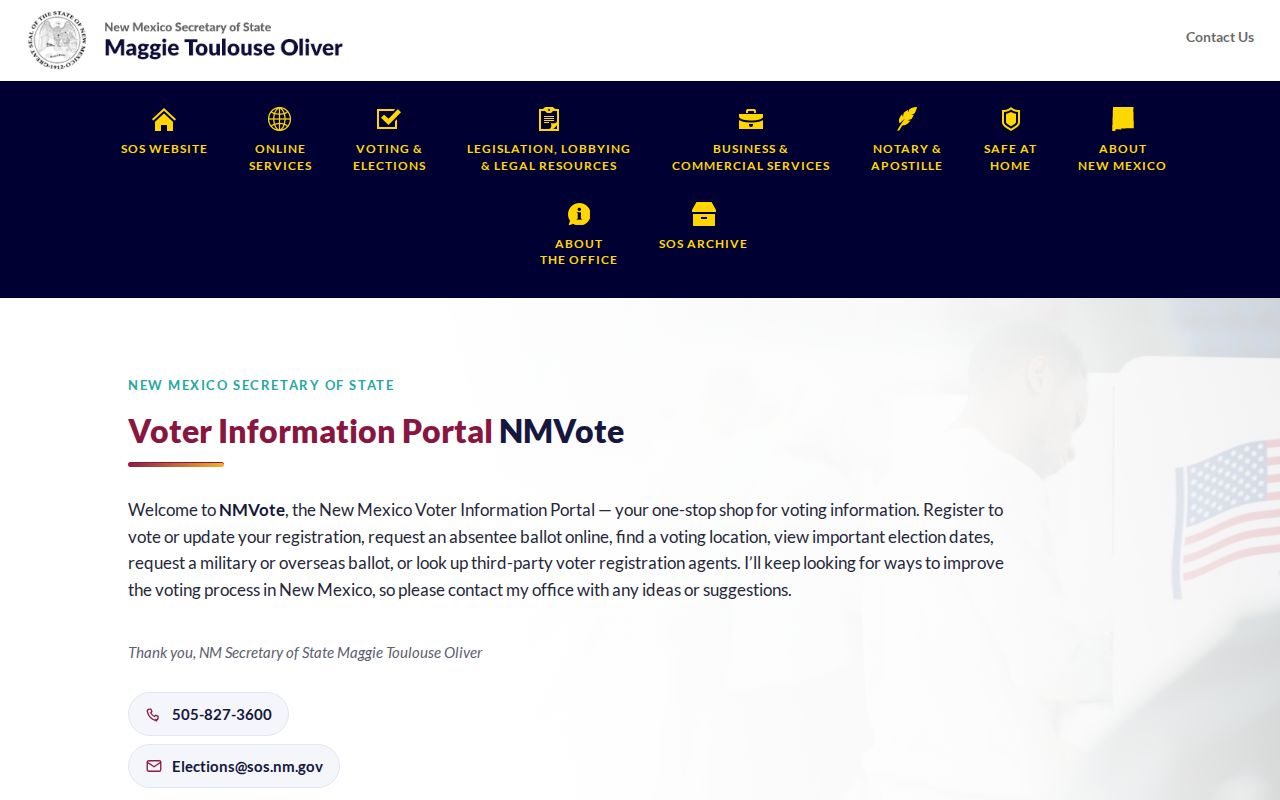
The portal is useful for a location check after a ZIP is known, while its result remains separate from parcel and resident-record questions.
Clovis ZIP Boundaries Are Not City Limits
Postal ZIP, City limit, parcel, legal description, and planning area each describe a different kind of geography. City Building Safety has jurisdiction within City limits plus a five-mile ETJ. The City GIS carries separate City-limit, floodplain, zoning, road, and County convenience-parcel layers. Annexations are maintained with the City and Curry County Clerks after City Commission approval. A Clovis-style mailing address may therefore need both a parcel and municipal-limit check before a record is assigned to City rather than County jurisdiction.
- ZIP and ZIP+4
- A ZIP routes mail; the extra four digits narrow delivery detail for a specific address or mail segment.
- P.O. Box ZIP
- A postal format used for box mail. The exact present type and boundary still need current USPS verification.
- Unique ZIP
- A ZIP used for one institution or organization; no such Clovis designation was confirmed in the research.
- Carrier route
- A delivery route used by the Postal Service, not a City boundary or a County parcel boundary.
The City GIS ZIP Code layer is maintained by the U.S. Census Bureau and has an unknown update status according to the City FAQ. It can help orient a map, but current USPS address validation and municipal-boundary layers answer different questions.
Note: a Clovis mailing label alone does not settle whether a parcel is within City limits or the County’s unincorporated area.
Clovis ZIP Geography and Planning Areas
Northwest, Northeast, Southwest, Southeast, South, and Downtown are City planning character areas, not postal boundaries. Prince Street and 21st Street help divide the four quadrants, rail tracks distinguish South Clovis, and MainStreet Clovis defines Downtown planning boundaries. These names can make a map easier to read, but they should not be used to assign a ZIP to an address.
The City GIS FAQ describes the local map context, including City and County layers and its treatment of the ZIP layer.
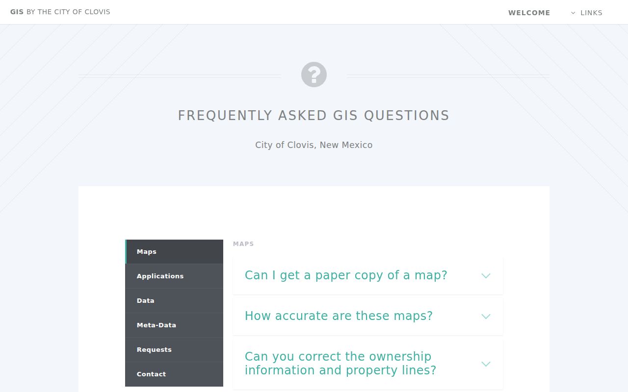
Viewing postal, municipal, and parcel layers separately prevents a planning-area name from being mistaken for ZIP code coverage.
Clovis ZIP History Needs the Legal Description
A ZIP is not the durable key for an older Clovis address. Keep the street, block and lot, legal description, neighborhood or parcel reference, and relevant map year. Research supports Sanborn editions for 1909, 1912, 1919, 1929, 1951, and 1962; National Park Service material cites city-directory years 1932, 1936, 1938, and 1941. The Clerk’s online recorded-document index begins in 1986.
That timeline makes a current ZIP a poor substitute for a historic identifier. Start with building or block context, inspect a verified historical directory entry where available, and use the legal description to bridge to later County records. No postal source supports projecting today’s ZIP onto a 1930s Clovis address.
Note: preserve the map year and street form before comparing an older Clovis address with a current postal response.
Limits of a Clovis ZIP Directory
A ZIP code directory can confirm a postal label and help orient a record search. It cannot show everyone in an area, resolve a parcel boundary, prove City jurisdiction, or substitute for the official record holder. NMVote’s address-and-ZIP function returns voting-location context, and the County parcel service should be searched through verified address and parcel information rather than a presumed ZIP field.
For City-held permits, code files, or other defined material without a public results portal, use a specific request through the City Clerk under the New Mexico Inspection of Public Records Act, NMSA 1978 §§ 14-2-1 through 14-2-12. Preserve the address, date range, and record category. This keeps the request focused on the actual Clovis record rather than a postal assumption.
For a disputed address, keep the answers separate instead of forcing one label to do every job. USPS answers the current delivery question. The County parcel service identifies the land record and legal description. City and County boundary layers help identify jurisdiction. Building Safety can explain whether its City-plus-five-mile-ETJ permit jurisdiction applies. A court, deed, or historical directory may use an older address form, so each record should be read in the time and system that created it.